

- Height: 2,181 m (7,156 ft)
- Location: Titiwangsa Range, near Lojing, Kelantan (Peninsular Malaysia’s third highest mountain)
- Trail Length: Approximately 13.0 km (out-and-back)
- Elevation Gain: Around 1,000 m (undulating ridge with many ups and downs)
- Difficulty Level: Challenging
- Permits: Required in advance
- Guide: Recommended but not mandatory
Activities
- Hiking
- Camping
- Backpacking
Best Times to Visit
- Year-round
- Early mornings or weekdays recommended for solitude
Trail Segments and Description
| Segment | Duration | Description |
|---|---|---|
| Trailhead (Kebun) to Pintu Rimba | 15 min (initial section) | The hike starts at Kebun Sayur (the vegetable farm), and before entering the jungle, people usually stop to take group pictures near the Yong Belar signboard at Pintu Rimba. From there, the trail heads up into the forest. |
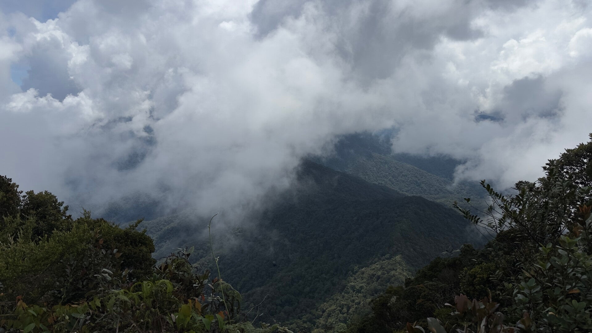
| Pintu Rimba to Kem Tudung Periuk | Up to 2 hours | From Pintu Rimba to Kem Tudung Periuk, the trail feels like a rollercoaster because of all the ups and downs. You’ll pass 5 false peaks along the way. False peaks 3, 4, and 5 have really nice views — at false peak 3, you can see the sunrise, and from false peaks 4 and 5, you get a good view of the YB3B mountains. False peaks 1 and 2 are close together, but the walk between 2 and 3 is a bit longer. The stretch from 3 to 4 is pretty short. After reaching the 4th false peak, the trail mostly goes downhill past the 5th false peak, and the campsite is just 5 to 10 minutes away. Some parts of the trail, especially going downhill, can be muddy |
| Kem Tudung Periuk to Kem Kasut | Up to 3 hours | From Tudung Periuk, you begin by descending steeply and crossing a small river, which is a recommended water point. Then you climb steeply again, and within 30 to 60 minutes, you’ll reach a junction at 1,700m. Turning left leads to Pelaur Waterfall (~45 minutes). Turning right leads to Kem Kasut via a descent followed by an ascent through the mossy forest, a great photo spot, but beware of vipers. The trail from the mossy forest to Kem Kasut is a challenging rollercoaster of ups and downs with muddy sections and a viewpoint halfway. It takes about 30-45 minutes from the second viewpoint to reach Kem Kasut camp at 1,950m. Both Tudung Periuk (1,660m) and Kem Kasut have nearby water sources. |
| Kem Kasut to Peak | Up to 1 hour 30 mins | The trail is tough with steep, muddy spots and roots. You may need to use a rope to climb some parts. There are 2 or 3 ways to go up, but they all join the same trail. You should pick the easiest path. It takes about 30 to 45 minutes to go from Kem Kasut to the V junction. The path is muddy but still okay to walk. From the V junction to the top takes 45 minutes to 1 hour. It’s all uphill and slippery. At the top, 2,181m high, you get amazing views of Gunung Korbu, Gayong, and Yong Yap |
Environment
- Flora: Mossy forests, pitcher plants, diverse jungle
- Fauna: Local wildlife typical of Titiwangsa range
- Scenic Views: Panoramic summit views including Gunung Korbu, Gunung Gayong, Yong Yap, Bubu, and Tok Nenek
Facilities
- Trailhead (Lojing): Public toilets, ample parking, mosque nearby
- Camping Spots: Kem Tudung Periuk and Kem Kasut (basic campsites, muddy with roots)
- Transport: 4WD from Blue Valley Dam or directly to Kebun Sayur (Kebun Sayur drop-off recommended) for time saving
- Water: Streams near campsites; boil water recommended
Safety & Tips
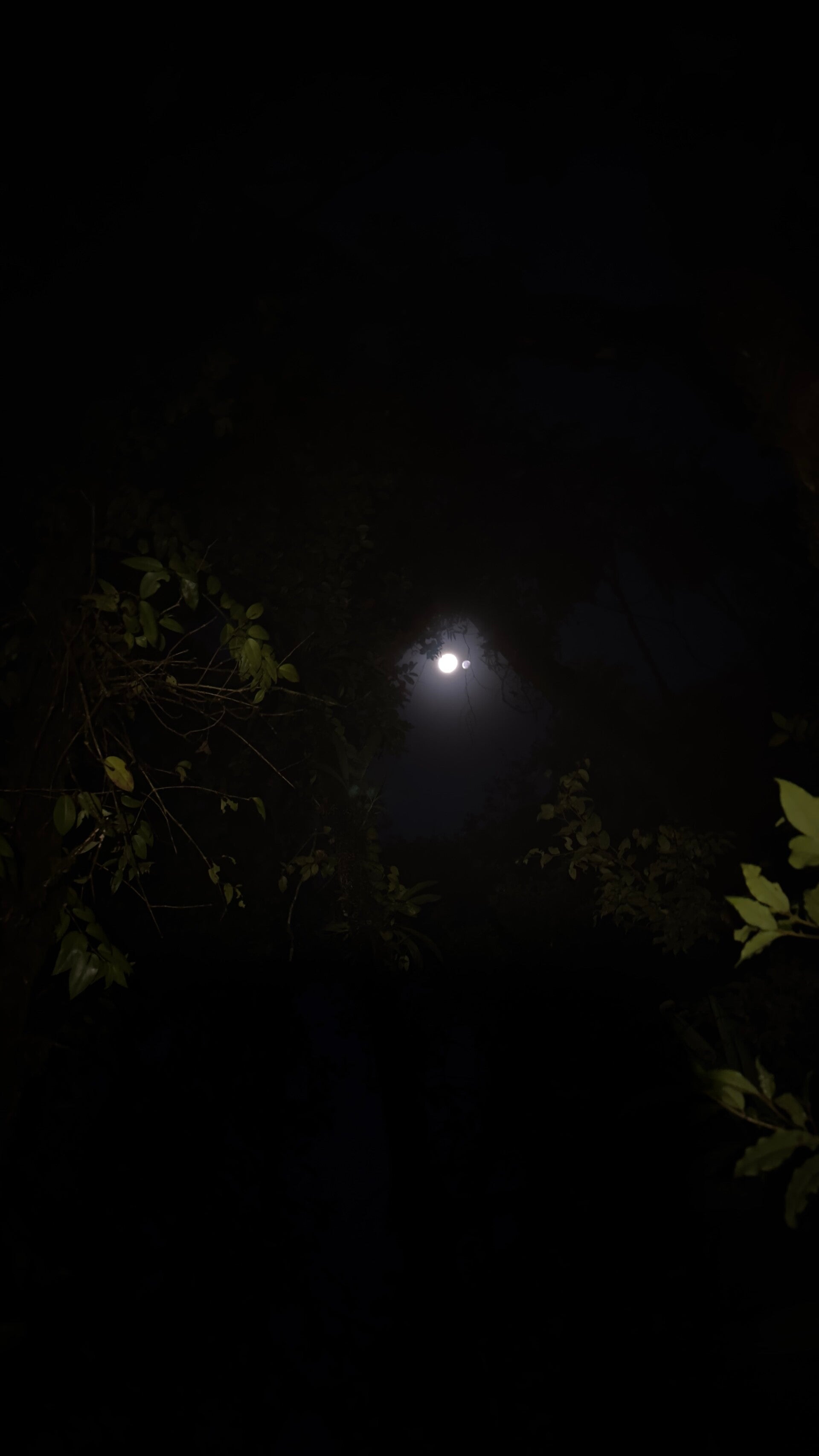
- Prepare for cold temperatures at high altitude; bring warm clothing
- Terrain is muddy and physically demanding — sturdy hiking shoes required
- False peaks early on can be mentally challenging
- Rope assistance present at some slippery sections
- Highly recommend a guide for safety and better navigation
- Descending via Blue Valley Dam is shorter on foot if no 4WD is available
Highlights
- Unique conical pyramid-shaped peak
- Part of Trans Titiwangsa trail for multi-day expeditions
- Close proximity to the highest peak, Gunung Korbu
- Opportunity to experience one of Peninsular Malaysia’s highest and most scenic mountain ranges
🛣️ Gunung Yong Belar Trail (Kem Kasut to Peak)
🔺 2181 m / 7156 ft
🏃🏻♂ Challenging hike
📈 7/10 (due to steep, muddy, slippery sections requiring rope use)
TENTATIVE GUNUNG YONG BELAR DAY HIKE
1:00 AM – Gather at Masjid Lojing
– Final preparations before the hike
2:00 AM – Powil arrives
– Move to the starting point
2:30 AM – Arrive at the starting point
– Hiking briefing
– Expedition begins
5:00 AM – Arrive at Kem Tudung Periuk
– Regroup the team
5:45 AM – Depart for Kem Kasut
11:00 AM – Arrive at Kem Kasut
– Regroup and refill water
12:00 PM – Arrive at the summit of Gunung Yong Belar
1:00 PM – Start descending back to Kem Kasut
2:00 PM – Arrive at Kem Kasut
– Regroup and refill water
2:15 PM – Depart for Kem Tudung Periuk
5:30 PM – Arrive at Kem Tudung Periuk
– Regroup
5:45 PM – Descend to the starting point
7:30 PM – Arrive at the starting point
8:00 PM – Arrive at Masjid Lojing
– Expedition ends
🔥 Cut-off time at Kem Kasut is 11:00 AM
Note: This schedule assumes everyone keeps to the planned times. If the group moves slower, the total time will increase accordingly.


Add comment
Comments
Dear Keewin boy.
You are one of the rare gems who admire the universe and truly enjoy the beauty of nature. You are a wonderful example for others to appreciate the wonders of God's creation. Please continue to explore as much as you can and follow what your heart insists you do.
Wishing you all the best.
Isai